01
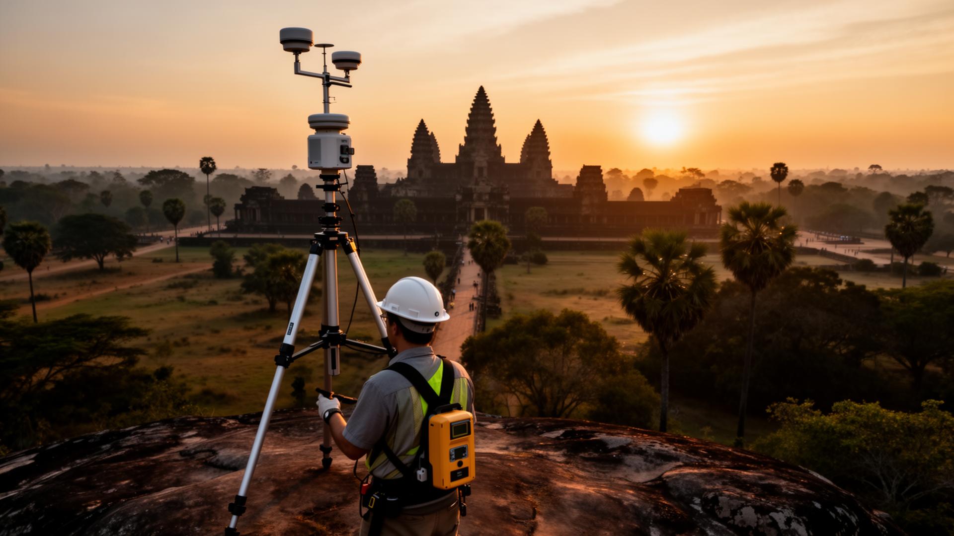
Topographic Survey
High-density terrain capture for design, planning and engineering studies.
- Contour maps
- Spot heights
- Feature classification
From topographic capture to as-built verification — a single accountable team for your project lifecycle.
High-density terrain capture for design, planning and engineering studies.
Stakeout, layout and quantity surveys throughout the construction lifecycle.
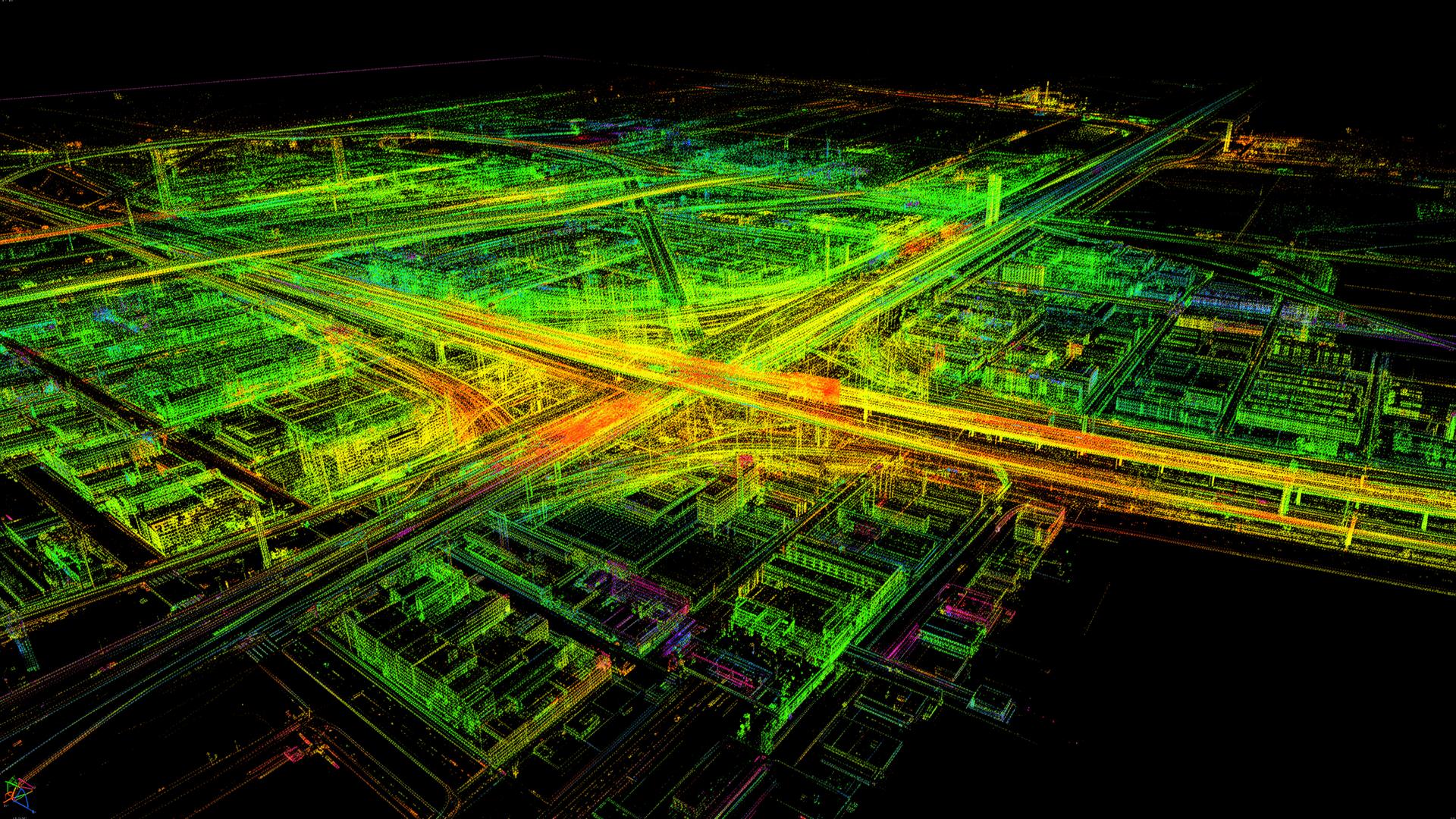
Aerial laser scanning for high-density, vegetation-penetrating point clouds.
Sub-centimeter orthomosaics and 3D meshes from UAV imagery.
Bathymetric mapping of rivers, lakes and harbors with single-beam systems.
Geospatial data collection, structuring and publishing for asset and infrastructure GIS.
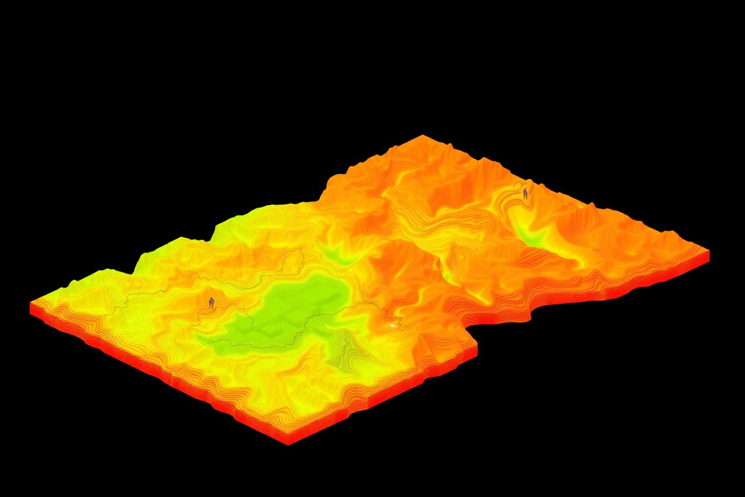
Triangulated surface models with hydrologically correct contours.
Primary and secondary control networks tied to national datums.
Verification of constructed works against design with full deviation reporting.
Site walk, deliverable review and engineering brief.
Control design, flight plans and crew scheduling.
Multi-sensor fieldwork with QA on the line.
Adjustment, classification, modeling and QC.
Project package in your preferred CAD / GIS / BIM format.
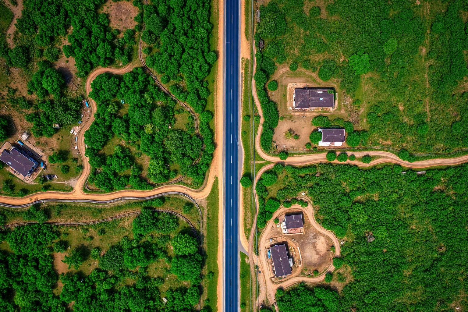
Drag the slider to compare the source orthomosaic with a colorized digital terrain model — both delivered from a single UAV mission.
GSD
2.4cm
Vert.
5cm
Cycle
48h
 Highway corridor
Area
180 ha
Density
240 pts/m²
RMSE
11mm
 Mining pit
Cycles
12/yr
Volume
± 0.4%
Crew
2 days
 Smart city
Assets
18,400
Layers
12
Accuracy
15mm
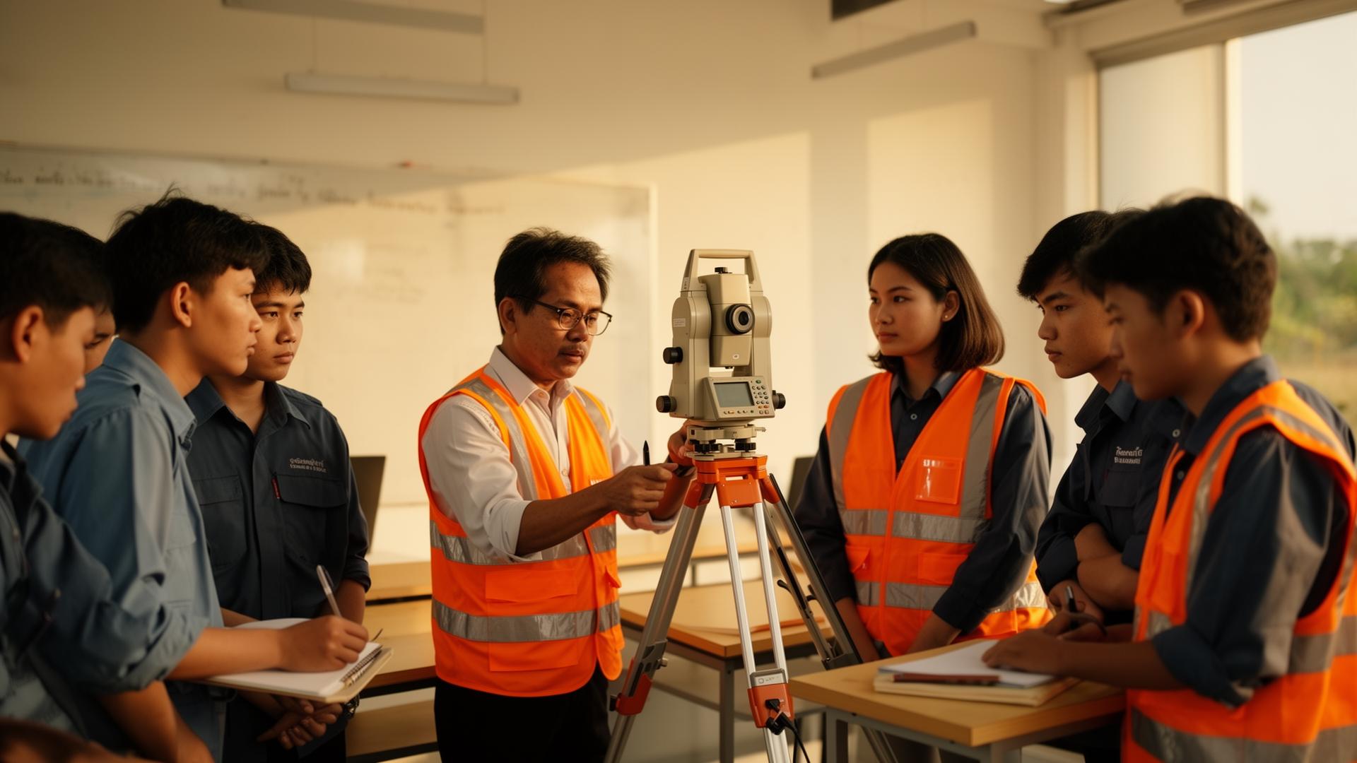 Education
Surveyors
32
Hours
120
Pass rate
100%
GNSS RTK Rovers
Tersus TS21 · Luka RTK
Total Stations
Sanding Arc7 robotic 1″
Digital Levels
Sub-millimeter precision
UAV Platforms
DJI Matrice 350 RTK
LiDAR Payloads
Zenmuse L2 · 5cm accuracy
Hydro Sounders
Single-beam echo systems
Reports
PDF · DOCX
Maps
GeoTIFF · KML
GIS
SHP · GeoJSON
3D
LAS · IFC · OBJ
CAD
DWG · DXF
Web
Hosted viewer
Send us your scope, area and target deliverables — we typically respond within one business day.