Cat.01
Flagship
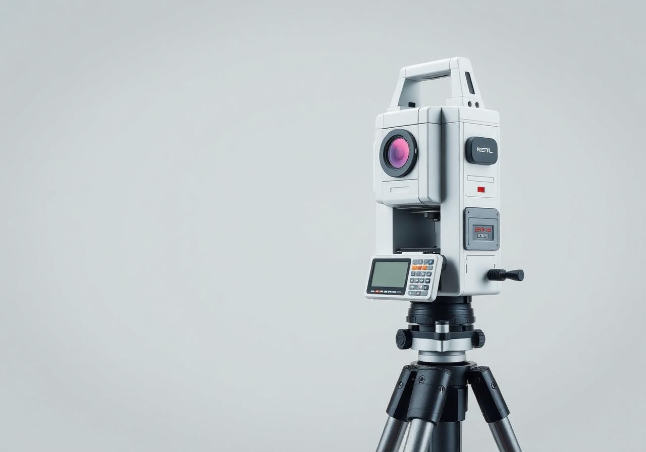
AI Visual & Laser RTK
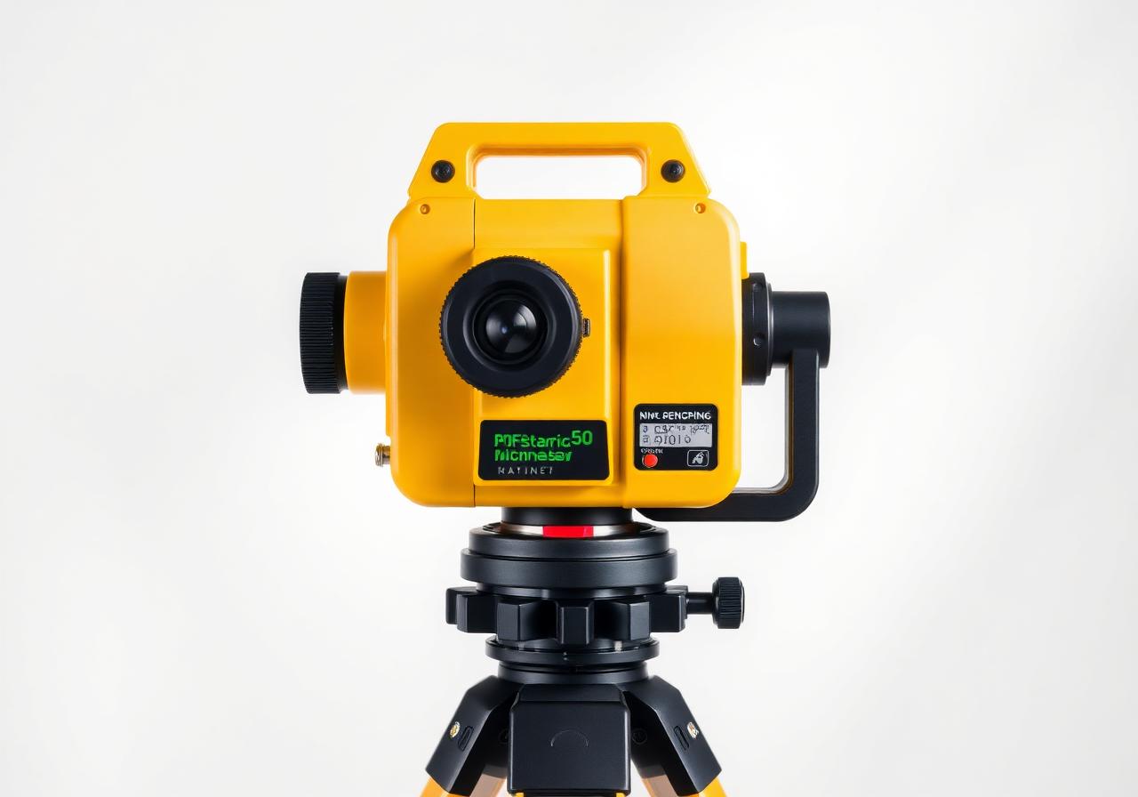
Tersus TS30
Advanced intelligent GNSS platform with dual cameras, laser ranging and AR visual surveying workflows.
Key features
- Dual-camera AR visual stakeout
- Integrated laser ranging
- 1408-channel multi-band GNSS
- IMU tilt compensation
Applications
ConstructionInfrastructureTopographic surveyCorridor mappingSmart surveying