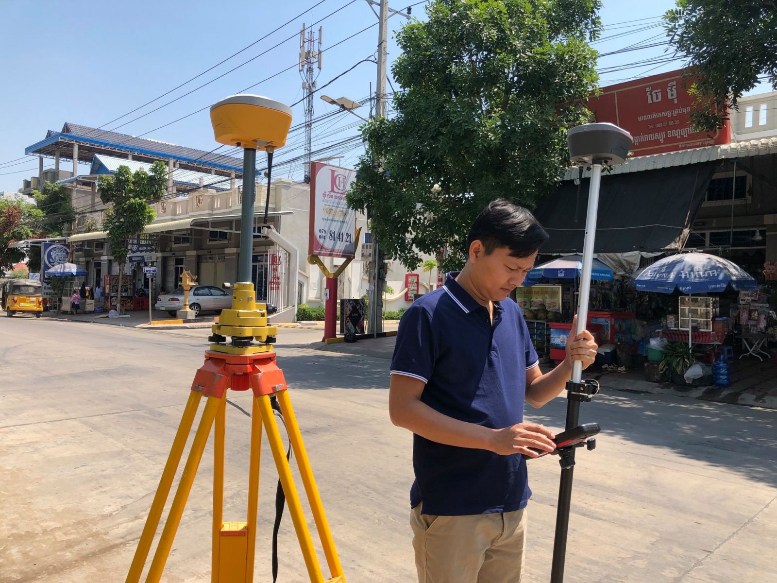
MEET OUR TEAM


Mr. La Veha is the founder and currently the Managing Director of EZ Surveying Co., Ltd.

He graduated with a Master of Spatial Information Science from the University of Melbourne in 2013 and he has been working in the field GIS (Spatial Database, Spatial Analysis, and Mapping) and Remote Sensing since 2008 with projects implemented by UN agencies, INGO, humanitarian organization, consulting firm, and government ministry, in which he provided both services and training to project teams. Also, He has been a Freelance GIS Trainer since 2011 with experiences in designing GIS courses and providing training services to over 200 people from various backgrounds and organizations.


The followings were GIS training courses that he conducted: 
  • Learning Basics of ArcGIS® Desktop 10
  • Learning Advanced ArcGIS® Desktop 10 Series: Geodatabase Development and Management
  • Spatial Analysis and Modeling with ArcGIS® for Desktop 10
  • Automatic Download of Google Satellite Images and Maps for ArcGIS or QGIS
  • Getting Google Earth Images into ArcGIS
  • Converting Online Map and Satellite Images into GIS Data
  • Creating Portable Maps for Windows and Mobile Devices
  • Advanced Topics in ArcGIS for Desktop 10
  • Learning ArcGIS Pro 1.2
  • Downloading and Using Google Satellite and Road Maps for Creating Geographic Data and Information
  • Harnessing the Power of ArcGIS for Desktop 10.4.1
  • Aerial Mapping and 3D Modeling with DJI Phantom Drones

The positions he has held with various organizations and projects include:
  • Managing Director and Trainer for EZ Surveying Co., Ltd. (which was formerly known as L3 Technology)
  • Drone Trainer for Fauna & Flora International (FFI)
  • GNSS Trainer for ILO Timor-Leste Programme
  • National Strategic Planning Specialist for Ministry of Environment
  • GIS and Remote Sensing Specialist for Fauna & Flora International (FFI)
  • National Consultant – NFMS Web Portal Institutionalization for FAO
  • National GIS Specialist for UNDP
  • GIS Specialist for FAO
  • GIS Consultant for Aruna Technlogy Ltd.
  • National Spatial Landscape Planner for UNDP
  • GIS Consultant for Oxfam America East Asia Regional Office
  • GIS and Database Consultant for GIZ in Cambodia
  • Freelance GIS Trainer for Norwegian People’s Aid (NPA) Cambodia
  • National Database Consultant for FAO
  • Freelance GIS Trainer for LEA-GIS Organization and Royal University of Agriculture
  • GIS and Database Specialist for GERES Cambodia
  • National GIS Advisor for Ministry of Land Management, Urban Planning and Construction
  • GIS and Land Use Planning Specialist for IP/GOPA Consortium
  • GIS Database Assistant for Danish Red Cross (DRC) Cambodia