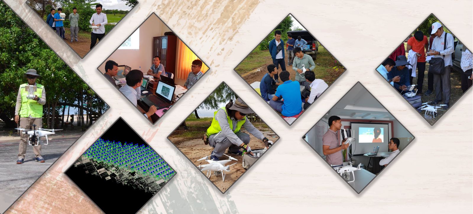
We usually conduct GIS and Remote Sensing related training courses on the weekend basis but we could also provide customized training courses that fit your team's need, availability and capacity. The followings are popular training courses that we have done so far:
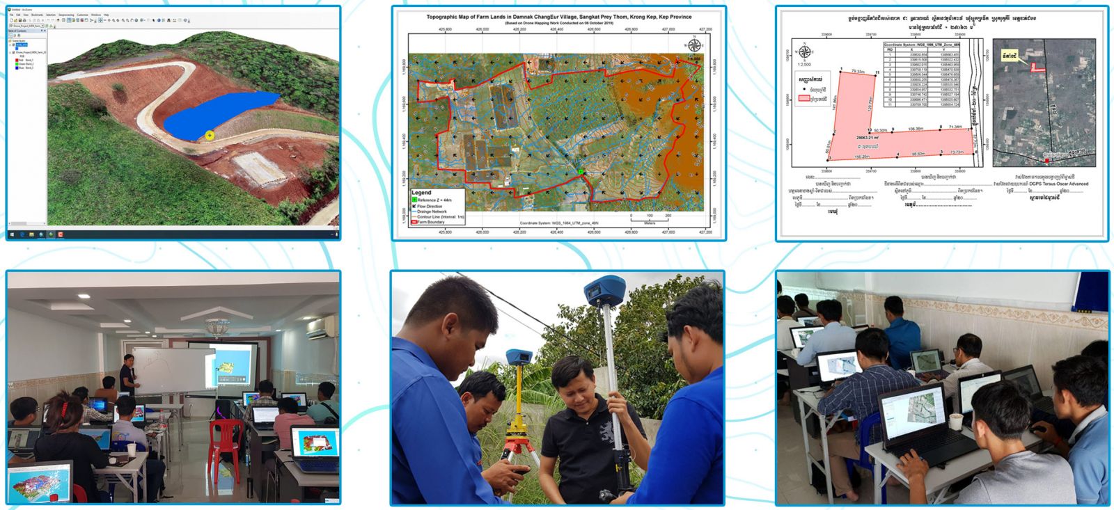
Training on: Aerial Mapping and 3D Modeling with DJI Phantom Drones
The main purpose of this training is to introduce participants to fundamental concepts of modern photogrammetry, how to make flight plans for capturing appropriate images with DJI Phantom 4 series drones, and how to use three most popular and advanced photogrammetry software to create dense point cloud, orthomosaic, digital surface model (DSM), digital terrain model (DTM), contour lines, and 3D textured mesh from those drone images.
The followings are the key topics to be presented and discussed during the training:
- Introduction to modern photogrammetry
- Flight plans: Aerial nadir and oblique
- Ground control points (GCPs)
- Applications of aerial mapping and 3d modeling
- Selecting and improving quality of the captured images
- Processing captured images with Pix4D software
- Processing captured images with OneButton software
-
Processing captured images with ContextCapture
Click here for more information about this training.
Training on: Harnessing the Power of ArcGIS for Desktop 10.5 (Basic + Advanced Level)
Six modules covering three main aspects of GIS that will be presented and discussed in the training class include:
- Module 01: Introducing GIS concepts, ArcMap and ArcToolbox
- Module 02: Working with map symbology and labels
- Module 03: Managing GIS coordinate systems
- Module 04: Managing GIS databases
- Module 05: Creating professional-looking maps
- Module 06: Performing GIS analysis
The key topics for each module of the training can be found at the last section of this announcement. The topics were carefully selected from basic and advanced GIS training courses that the trainer have done many times before so that they are most relevant to what GIS people are doing in Cambodia.

Training on: How to Download and Use Google Satellite and Road Maps for Creating Geographic Data and Information
The main purpose of this 3-day GIS training is to discuss what tools and methodology can be used to convert (free) online maps and satellite images, such as those provided by Google into offline georeferenced images that can be used with GIS software package, such as ArcGIS and QGIS, and in AutoCAD software.
Key topics to be presented and discussed include:
- Using Google Satellite Images and Road Maps in ArcGIS, QGIS, and AutoCAD.
- Best digitizing practices for creating vector data (points, lines, and polygons) in ArcMap based on Google Satellite Images and Road Maps.
- Converting Google Satellite Images and Road Maps to be used in smart mobile devices (Android and iOS devices) for supporting field data collection.
- Updating Google Satellite Images and Road Maps based on automation process with custom programmed software tools.